Search Constraints
Search Results
Select an image to start the slideshow
Cooperative GIS Mapping for Massachusetts Communities and the MassDOT
1 of 10
Lake Path
2 of 10
Utilizing Volunteers to Save the Văcărești Wetlands
3 of 10
A Citizen Science Approach to Measuring Microplastics in Berlin's Water
4 of 10
Development of a Plan to Restore La Guachinanga Island and Canal to its Previous State
5 of 10
Community Interface Resource Management Area Land Suitability Plan in El Yunque National Forest
6 of 10
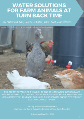
Water Solutions for Farm Animals at Turn Back Time
7 of 10
Project-Based Learning-to-Go: Fog Net & Biomimicry Curriculum for High School Students
8 of 10

Evaluating the Environmental State Assessment Toolkit
9 of 10
A Roadmap to Scaling the Algae Industry: A Study of Opportunities in Gippsland, Australia
10 of 10
